
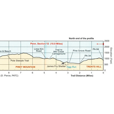
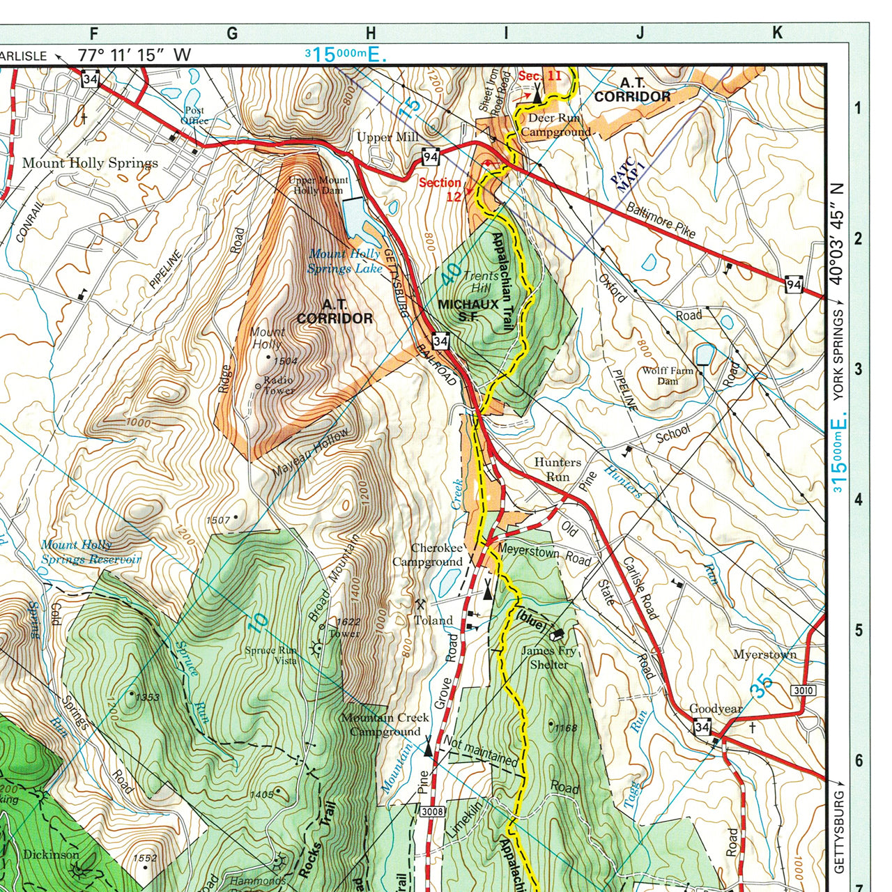
The official Appalachian Trail maps are essential hiking materials for both thru and section hikers. Each map is focused on the Appalachian Trail and overlaps with the neighboring maps, ideal for long-distance hikes and planning. The surrounding area and additional side trails are also included. An easy-to-use elevation profile shows the distance to the next campsite or shelter, side trails, and water sources. For added interest, maps indicate road crossings, waterfalls, and scenic areas. Maps are both water- and tear-resistant.
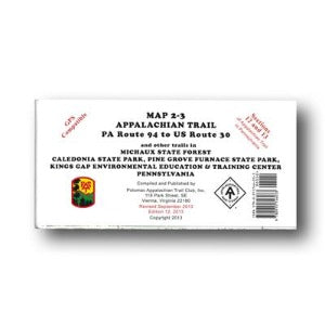
Maps 2 & 3: PA Route 94 to US Route 30 and other trails in Michaux State Forest, Caledonia State Park, Pine Grove Furnace State Park, Kings Gap Environmental Education & Training Center.
Published by Potomac Appalachian Trail Club: 1:50,000-scale, 40 foot contour interval topographic maps. GPS compatible. Revised 2013.
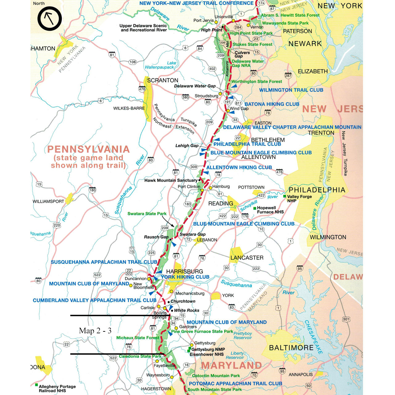
The official Appalachian Trail maps for Pennsylvania are also available for sale as a set (#121) or in an official Appalachian Trail Guide Set (#105) for more in-depth planning.