
Each map is focused on the Appalachian Trail and overlaps with the neighboring maps, ideal for long-distance hikes and planning. The surrounding area and additional side trails are also included. An easy-to-use elevation profile shows the distance to the next campsite or shelter, side trails, and water sources. For added interest, maps indicate road crossings, waterfalls, and scenic areas. Maps are both water- and tear-resistant.
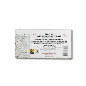
Map 13: Appalachian Trail and other trails in George Washington National Forest
Tye River to James River Face Wilderness
Published by Potomac Appalachian Trail Club: 1:62,500-scale, 100 feet contour interval topographic maps. GPS compatible. Revised 2015.