

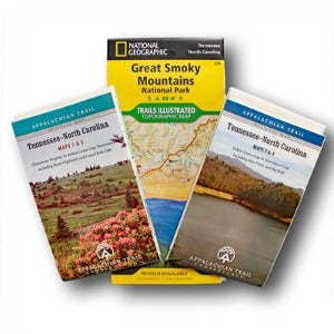

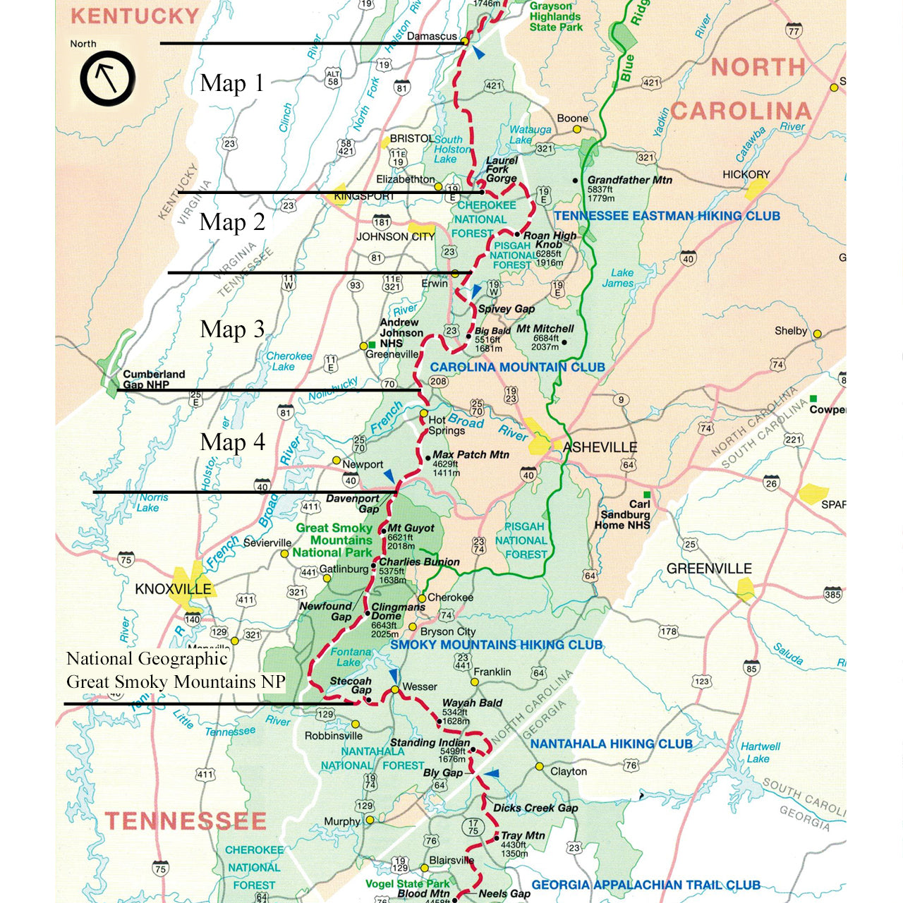
The Tennessee-North Carolina edition covers 303.9 miles from Damascus, Virginia, near the Tennessee state line to the southern end of the Great Smoky Mountains National Park at Fontana Dam, North Carolina, including parts of the Cherokee and Pisgah national forests. This set includes one guidebook and four maps on two sheets (scale, 1:63,360), plus the National Geographic map of Great Smoky Mountains National Park (scale, 1:62,500). The pocket-sized planning guide contains background and interpretive information, points of interest, general advice, shelters, water sources, and road crossings. The omnidirectional format allows you to see where you are whether southbound or northbound. Each map is focused on the Appalachian Trail and overlaps with the neighboring maps. The surrounding area, out to about three miles, and additional side trails are also included. An easy-to-use elevation profile shows ups and downs and the distance to the next campsite or shelter, side trails, and water sources. For added interest, maps indicate federal or state lands, road crossings, waterfalls, and scenic areas. Maps are both water- and tear-resistant.
-
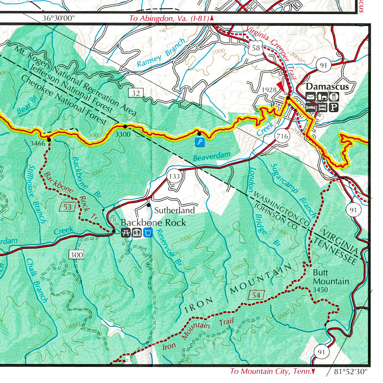
Maps 1 & 2: Tennessee-North Carolina; Damascus, Virginia, to Indian Grave Gap, Tennessee, including Roan Highlands and Laurel Fork Falls
Seven-color, 1:63,360-scale topographic maps with 100 feet contour intervals. 1 inch = 1 mile. -
Maps 3 & 4: Tennessee-North Carolina; Indian Grave Gap to Davenport Gap including Max Patch and Big Bald
Seven-color, 1:63,360-scale topographic maps with 100 feet contour intervals. 1 inch = 1 mile. -
Map: National Geographic; Great Smoky Mountains National Park
Published by Trails Illustrated. Seven-color, 1:70,000-scale topographic maps with 50 feet contour intervals. 1 inch = 1.1 miles.
The official Appalachian Trail maps for Tennessee-North Carolina are also available for sale as a set (#133) and the National Geographic Great Smoky Mountains National Park map is available separately (#134).
Fifteenth Edition, 2016.